Back to list
Your body needs a certain amount of time to acclimatize. If you climb too quickly, you may experience dizziness and loss of balance.
A balanced water balance is essential for the body during any form of physical exertion.
The discomfort caused by climbing too fast or staying too long at high altitudes, coupled with sporting activity, are natural protective measures of the body and cannot be prevented even by physical fitness.
.jpg)
Brülisau, Pfannenstil – Alp Sigel (Cable car) – Chüeboden – Plattenbödeli – Brülisau, Pfannenstil
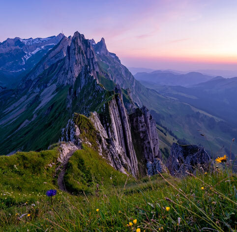
The hike starts at the parking lot next to the valley station of the Alp-Sigel gondola lift. A gondola takes you comfortably up to the alp. Take a moment before setting off and enjoy the gigantic panoramic view: to the south you can see Staubern, Staubernkanzel, Hochhüser, Amboss and, at the end of the southern chain, the imposing rocky peaks of the Kreuzberge, with the Vorarlberg, St. Gallen and Graubünden mountains in the background. Widderalpstöcke, Hundstein, Altmann and the unique Säntis massif rise to the west. For the descent, hike via Chüeboden to Plattenbödeli. There you reach the Sämtisersee, one of the three mountain lakes in the Alpstein. This is followed by a steep descent down through Brüeltobel past Hexenwäldli.

Hoher Kasten – Staubern – Staubernkanzel – Saxerlücke – Bollenwees – Plattenbödeli – Brülisau
optional with scooters: Plattenbödeli – Ruhesitz – Brülisau
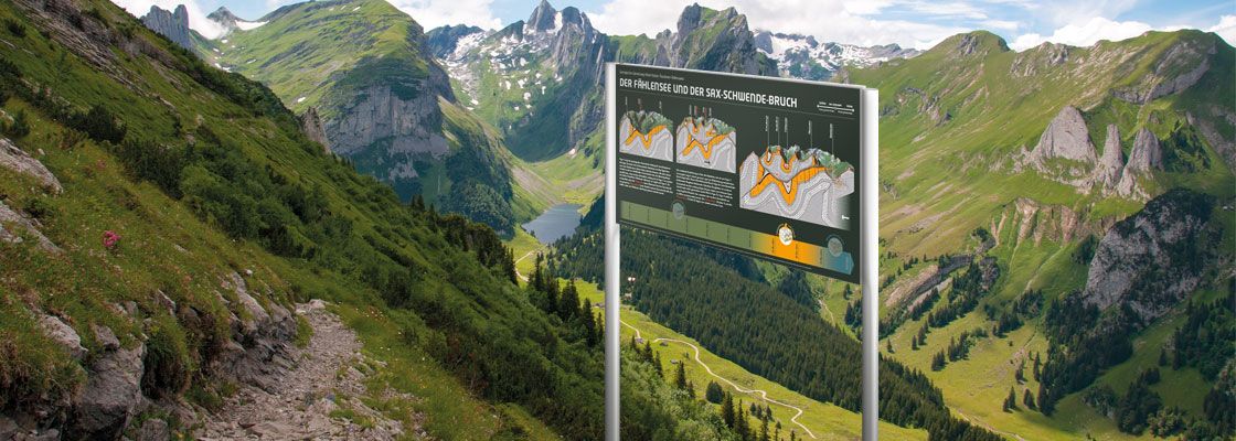
Switzerland's first geological hiking trail leads from Hoher Kasten along the southern chain of the Alpstein and reveals the geological layers of the past millennia in a fascinating variety to both laymen and experts. From a geological point of view, the Alpstein is a mountain massif that is well worth exploring. This hike starts at the Hohe Kasten with panoramic views of the Rhine Valley and Appenzellerland, the surrounding mountains in Switzerland and neighboring countries. The route is equipped with 20 themed boards. Numerous geological phenomena are explained to the viewer with easy-to-understand graphics and texts. After the mountain tour, you can enjoy the 3 km descent from the Ruhesitz to Brülisau on scooters. (1 scooter incl. helmet: 15 Fr.)

Wasserauen – Seealpsee – Unterstrich – Meglisalp – Widderalpsattel – Bollenwees am Fählensee – Sämtisersee – Plattenbödeli – Brülisau
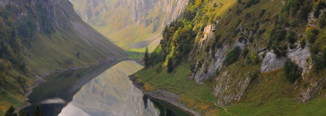
The three precious gemstones of the Alpstein united in a breathtaking natural setting during a moderately difficult day hike. From Wasserauen, you hike along the Schwendibach stream and climb up to the Seealpsee lake. At the end of the lake, the path leads up to the left to the dreamy little alpine village of Meglisalp. Climb up a steep path to the Widderalp saddle. The descent over the Widderalp is pleasant. Nestled between the steep rock faces of the Hundstein to the north, the Altmann to the west and the Kreuzberge to the south, the almost black waters of Lake Fählensee are enchanting. The route continues down the valley on a good little road to the Sämtisersee. As with the Fählensee, there is no outflow to be seen here. The water from both lakes flows underground and reappears in the Rhine valley. After a short uphill section, the route descends steeply through the mystical Brüeltobel to Brülisau.

Hiking tips in the Appenzell region
Versatile and varied hiking trails lead through the Alpstein region - past mountain lakes, steep rock formations or through meadows and forests. In this article, we show you three special hiking suggestions.
21.06.2023
10 Minuten min
General tips
Pay attention to your body's signals
Your body doesn't “rebel” for no reason - don't overestimate yourself and take enough breaks.
Don't ascend too quickly
Your body needs a certain amount of time to acclimatize. If you climb too quickly, you may experience dizziness and loss of balance.
Drink enough
A balanced water balance is essential for the body during any form of physical exertion.
Altitude complaints can affect anyone
The discomfort caused by climbing too fast or staying too long at high altitudes, coupled with sporting activity, are natural protective measures of the body and cannot be prevented even by physical fitness.Our hiking tips
Hiking is one of the Swiss population's favorite leisure and sports activities. Almost half of them regularly hike on the approximately 65,000 kilometers of signposted Swiss hiking trails, which is equivalent to one and a half times the circumference of the equator.Mountain flower hike to the Alp Sigel
.jpg)
Brülisau, Pfannenstil – Alp Sigel (Cable car) – Chüeboden – Plattenbödeli – Brülisau, Pfannenstil
The hike starts at the parking lot next to the valley station of the Alp-Sigel gondola lift. A gondola takes you comfortably up to the alp. Take a moment before setting off and enjoy the gigantic panoramic view: to the south you can see Staubern, Staubernkanzel, Hochhüser, Amboss and, at the end of the southern chain, the imposing rocky peaks of the Kreuzberge, with the Vorarlberg, St. Gallen and Graubünden mountains in the background. Widderalpstöcke, Hundstein, Altmann and the unique Säntis massif rise to the west. For the descent, hike via Chüeboden to Plattenbödeli. There you reach the Sämtisersee, one of the three mountain lakes in the Alpstein. This is followed by a steep descent down through Brüeltobel past Hexenwäldli.
6
km length83
vertical meters2
hoursGeological hiking trail

Hoher Kasten – Staubern – Staubernkanzel – Saxerlücke – Bollenwees – Plattenbödeli – Brülisau
optional with scooters: Plattenbödeli – Ruhesitz – Brülisau
Switzerland's first geological hiking trail leads from Hoher Kasten along the southern chain of the Alpstein and reveals the geological layers of the past millennia in a fascinating variety to both laymen and experts. From a geological point of view, the Alpstein is a mountain massif that is well worth exploring. This hike starts at the Hohe Kasten with panoramic views of the Rhine Valley and Appenzellerland, the surrounding mountains in Switzerland and neighboring countries. The route is equipped with 20 themed boards. Numerous geological phenomena are explained to the viewer with easy-to-understand graphics and texts. After the mountain tour, you can enjoy the 3 km descent from the Ruhesitz to Brülisau on scooters. (1 scooter incl. helmet: 15 Fr.)
15
km length572
vertical meters5
hours3
km descent (optional)Three Lakes Hike

Wasserauen – Seealpsee – Unterstrich – Meglisalp – Widderalpsattel – Bollenwees am Fählensee – Sämtisersee – Plattenbödeli – Brülisau
The three precious gemstones of the Alpstein united in a breathtaking natural setting during a moderately difficult day hike. From Wasserauen, you hike along the Schwendibach stream and climb up to the Seealpsee lake. At the end of the lake, the path leads up to the left to the dreamy little alpine village of Meglisalp. Climb up a steep path to the Widderalp saddle. The descent over the Widderalp is pleasant. Nestled between the steep rock faces of the Hundstein to the north, the Altmann to the west and the Kreuzberge to the south, the almost black waters of Lake Fählensee are enchanting. The route continues down the valley on a good little road to the Sämtisersee. As with the Fählensee, there is no outflow to be seen here. The water from both lakes flows underground and reappears in the Rhine valley. After a short uphill section, the route descends steeply through the mystical Brüeltobel to Brülisau.
18
km length1221
vertical meters7
hours

